Jan 29, 2024 | Missouri River |
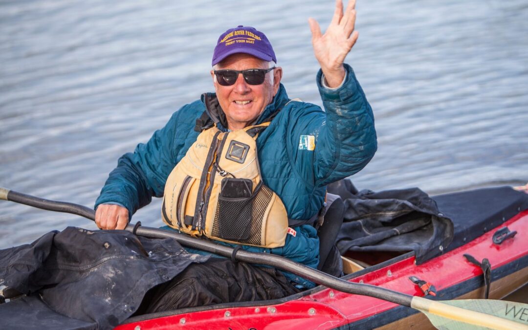
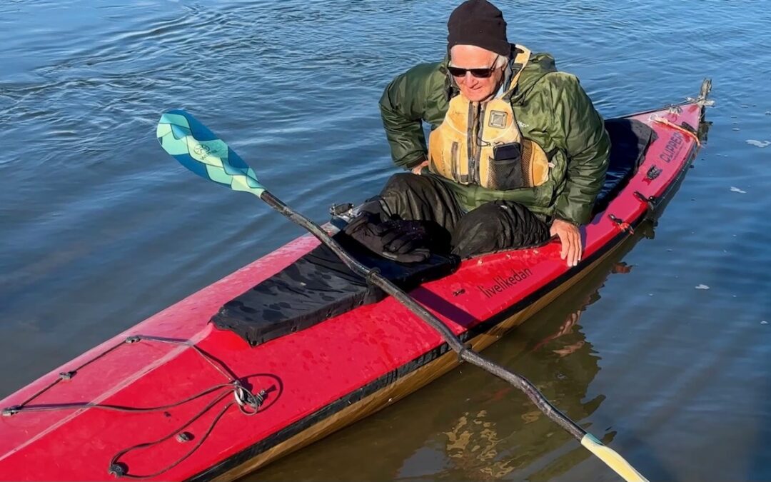
Costa Mesa, California January 30, 2024 Dear Family & Friends: In 2023, I completed a through-paddle of the Missouri River in my “livelikedan”/ “Ollie Power” canoe. The trip began at the source of the River in the Rocky Mountains near Three Forks, Montana and...
Jan 1, 2024 | Mountaineering, Uncategorized |
Costa Mesa, Ca. January 1, 2024 Dear Family & Friends: On the darkest eve of World War II, King George VI came to the microphone of the BBC to deliver the annual Christmas message to the British Commonwealth. He spoke these eloquent and immortal words:* I said to...
Dec 14, 2023 | Missouri River |
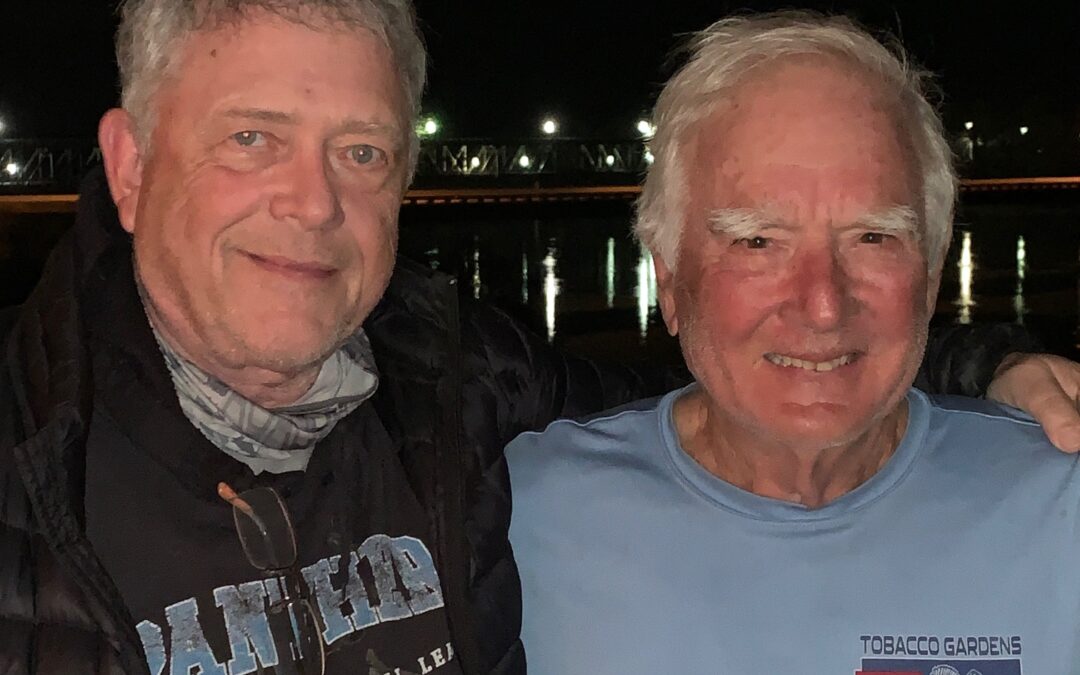
Costa Mesa, California December 14, 2023 Dear Family & Friends: I am home with my family. Here is my account of the last two days on Mighty Mo. December 10. My day began with breakfast with Brian Mason at the Bike Stop Cafe in St. Charles. Brian is an...
Dec 9, 2023 | Missouri River |
St. Charles, Missouri December 9, 2023 I’m resting comfortably in St. Charles, looking forward to the Christmas celebrations going on in this beautiful, historic city, which was formerly the Capital of Missouri. Here is how I got here. December 6. I paddled from...
Dec 5, 2023 | Missouri River |
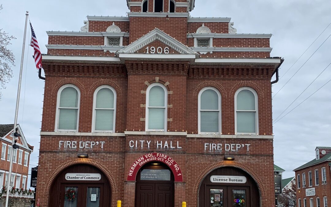
Hermann, Missouri December 5, 2023 Dear Family & Friends: December 1. Jerico picked me up at the casino/hotel and transported me to the Franklin Island Ramp. The 25 mile paddle from Boonville to Coopers Landing was frigid cold under dark, overcast skies and...
Dec 1, 2023 | Missouri River |
Boonville, Missouri November 30, 2023 Dear Family & Friends: I can feel the end of the trip approaching as I close in on St. Louis, Missouri. Here is my recap of LsBenite Park to Boonville. November 24. The paddle from LaBenite Park to Napoleon was mixed. I...
Nov 23, 2023 | Missouri River |
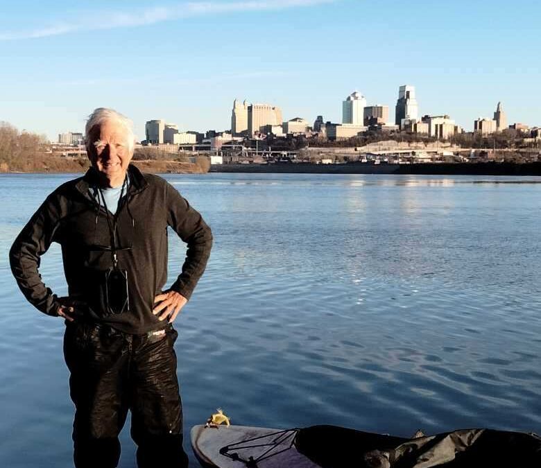
Overland Park, Missouri November 23, 2023 Dear Family & Friends: Happy Thanksgiving Day to all of you and your families.Here is a report on what brought me to Overland Park on Thanksgiving Day, 2023. November 20-21: 9am. I depart from the boat ramp at Saint...
Nov 20, 2023 | Missouri River |
Saint Joseph, Missouri November 19, 2023 Dear Family & Friends: At this point on my journey, I am trying to stay ahead of the rain and snow. Here’s how I got to Saint, Joseph, Missouri. November 11. I left from Omaha and paddled downstream about 25 miles...
Nov 11, 2023 | Missouri River |
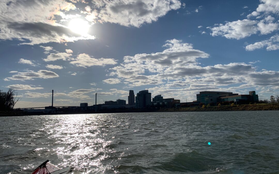
Ameristar Casino and Hotel* Council Bluffs, Iowa November 11, 2023 Dear Family & Friends: It has been a long and consequential 11 days since my last report. Here is an update. November 2. I launched from Yankton in the morning. The day was cloudy and cold, but I...
Nov 1, 2023 | Missouri River |
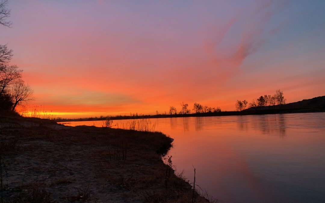
Yankton, South Dakota November 1, 2023 Dear Family & Friends: October 29. I made great progress today on the Missouri River with a really strong current. I launched in extremely cold weather from Pickstown at 9:30 am and arrived at my destination, Blue Moon Resort...